-
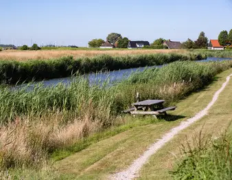
Noord-Hollandpad - Etappe 6 Den Oever - De Haukes
With this stage, we make a brief leap to the other end of North Holland. To Den Oever, where the Afsluitdijk is located—the dike between North Holland and Friesland that separates the IJsselmeer from the Wadden Sea. Here, you walk straight across the former island of Wieringen, with its quintessential Dutch nature and panoramic views.
- Start location
- Kolhorn
- Distance
- 13.0 km
-
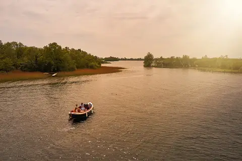
Sloepenronde de Wijde Blik & de Vecht Zuid
Ready for a wonderful day on the water of the Loosdrecht Lakes and the Vecht?
- Start location
- Kortenhoef
- Distance
- 20.3 km
-

Pontjesroute
The Pontjesroute is a 44-kilometre cycling route around the Alkmaarder- en Uitgeestermeer, the only lake in North Holland that was not drained in the seventeenth century. The route offers beautiful views and picturesque villages, and crosses the water four times along the way by ferry.
- Start location
- Catricum
-
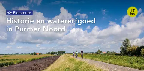
Historie en watererfgoed in Purmer Noord
It has been four centuries since this polder was drained using windmills. Cycle past interesting spots, read the stories, and the Purmer comes to life. Two cycling routes have been mapped out, through the north and the south of the polder.
- Start location
- Purmerend
- Distance
- 17.0 km
-
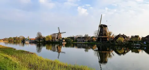
Floris V-pad - Etappe 1: Amsterdam Dam naar Weesp
From the canals of Amsterdam via the quiet Weespertrekvaart to Weesp — 17.4 km long-distance walking route full of water, history, and hidden urban tranquility.
- Start location
- Amsterdam
- Distance
- 17.4 km
-
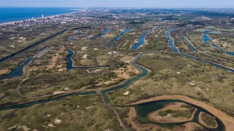
Bunkerwandeling
In the Amsterdam Water Supply Dunes there are many bunkers, about 400. This route runs along several bunkers. They were built by Germany during the Second World War and are part of the Atlantic Wall.
- Start location
- Zandvoort
- Distance
- 5.3 km
-
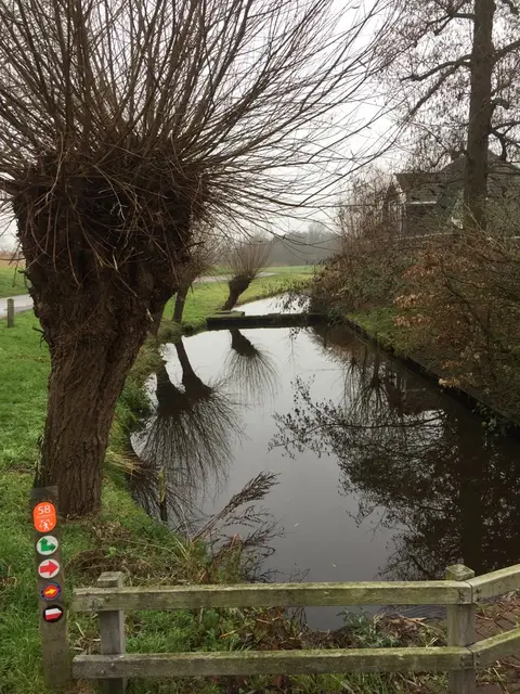
Ommetje Noordeindermeer (groen)
Along the Noordeindermeer Loop, the Arisdijk offers a striking contrast between the medieval plots around Lake Arismeer in the west and the low, straight polder blocks of the Noordeindermeer in Driehuizen.
- Start location
- Driehuizen
- Distance
- 6.0 km
-
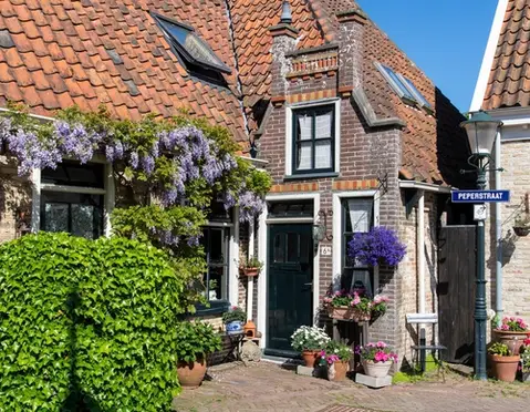
Boerenommetje
The Boerenommetje (blue) leads through gently rolling grassland. Here it is clearly visible that Oosterend is situated on a somewhat higher moraine.
- Start location
- Oosterend
- Distance
- 4.8 km
-
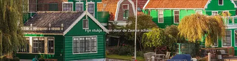
Fijn stukje varen door de Zaanse schans
Windmills, the vastness of the landscape, and the preserved wooden houses, barns, and warehouses from earlier times, characteristic of the Industrial Revolution of the 19th century, form the backdrop of the route.
- Distance
- 26.8 km
-

Leijenroute (zwart)
The Leijen Route (black), starting from the 't Verlaat starting point near Nieuwe Niedorp, initially runs alongside the Rondje Waarland and turns right at the Weelbrug towards 't Veld. It then continues along the grass strip beside the tree-lined Leijerpolderweg and the grass dike on the northern bank of the canal.
- Start location
- Oude Niedorp
- Distance
- 8.6 km
-
Oude jaagpadroute
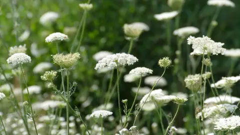
The Old Towpath Route (green) runs through the forests of Alkmaar and Heiloo, and through the open landscape of the Egmondermeer, where you discover the old towpaths along the Hoever and Bindervaart canals.
- Start location
- Heiloo
- Distance
- 10.2 km
-
Rondje Heilooërbos (geel)
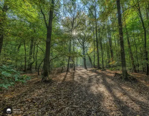
The Rondje Heilooërbos (yellow) is a route for the whole family through the forest of the old Nijenburg estate. At the edge of the forest, you have a wide view over the surrounding meadows. Also...
- Start location
- Heiloo
- Distance
- 4.1 km