In what is perhaps the most beautiful and authentic part of the Netherlands, you’ll find stunning and often unspoilt nature. There are many kilometres of walking and cycling routes through quintessentially Dutch lowlands. Historic towns in the municipalities of Schagen, Den Helder, Hollands Kroon and the island of Texel are all within easy reach of one another.
Along the three coasts that make North Holland so unique, you’ll traverse the dunes from salt to fresh. Through polders and over dykes, past the almost endless tulip fields that bloom profusely in spring. Passing through old villages, you’ll walk into small-town centres. Often with a rich maritime or nautical history and always full of stories.
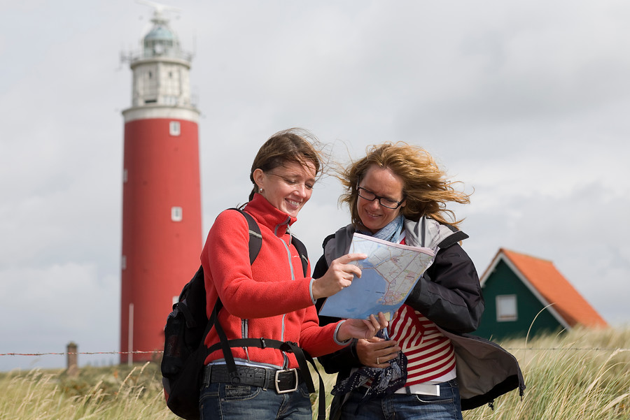
Regio Kop van Noord-Holland
Routes in the Kop van Noord-Holland
-
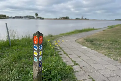
Het verhaal van Hollands Kroon Oost
Discover the eastern side of Hollands Kroon on an unforgettable cycling route. History is reflected everywhere in the landscape. Cycle through the vast Wieringermeerpolder, past sturdy pumping stations, picturesque villages, and historic dikes.
- Start location
- Den Oever
- Distance
- 57.7 km
-
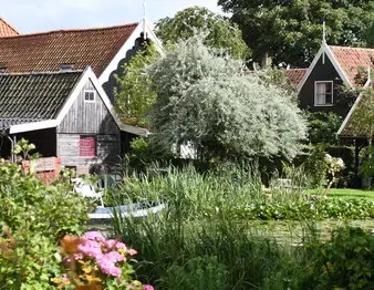
Noord-Hollandpad - Etappe 5 Wieringerwaard - Kolhorn
This stage is the shortest of the North Holland Trail. From Wieringerwaard—a typical North Holland village with a white church, monumental farmhouses, and a 50-meter-high old water tower—it is only 10 kilometers to Kolhorn, an old fishing village that used to lie on the Zuiderzee. Here, you are constantly on the border between old and new land.
- Start location
- Wieringerwaard
- Distance
- 10.0 km
-
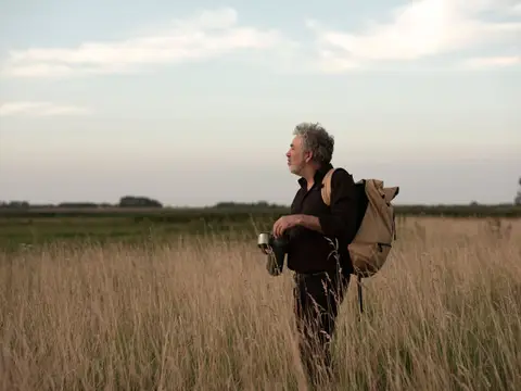
Ziltepad - Etappe Oosterland - Stroe
For a long time, Wieringen was the smallest Wadden Island, about ten kilometers long and two to three kilometers wide. After the closure of sea inlets, the reclamation of the Wieringermeer, and the construction of the Afsluitdijk, the island became encapsulated within the mainland.
- Start location
- Den Oever
- Distance
- 18.8 km
-
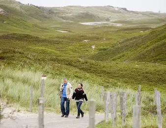
Noord-Hollandpad - Etappe 3 Den Helder - Julianadorp
Den Helder is located at the very tip of the northernmost point of North Holland. You can easily spend a whole day at this most important naval base in the Netherlands. The history here dates back to Napoleon, who had four large forts built just before he was exiled to Elba. You can still visit this Den Helder Defence Line.
- Start location
- Den Helder
- Distance
- 16.0 km
-
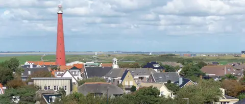
Helderse Duinen
Those traveling to Den Helder are rewarded with a surprising route. From winding dune paths to the dead-straight Wadden Sea dike.
- Start location
- Den Helder
- Distance
- 16.1 km
-
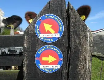
Noord-Hollandpad - Etappe 4 Julianadorp - Wieringerwaard
Lisse has the reputation, but the largest fields of flower bulbs are located in the northernmost part of North Holland. Spring is a beautiful time to explore this stage. Some farmers have opened their paths to walkers. Consequently, the North Holland Trail runs straight through the bulb fields.
- Start location
- Julianadorp
- Distance
- 13.0 km
-
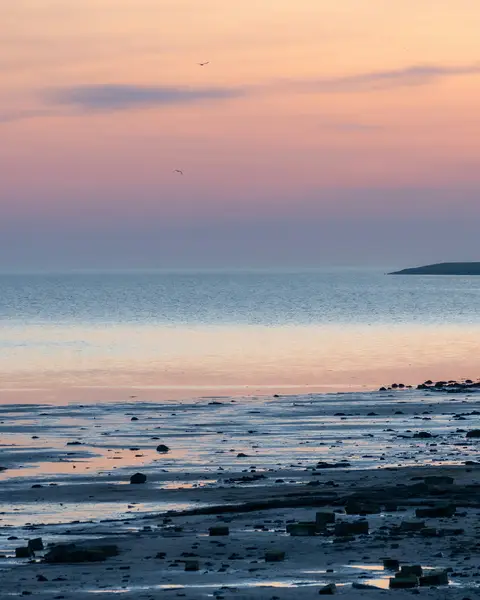
Wandelen met uitzicht op de Waddenzee
Discover the beautiful area of the former island of Wieringen, an Eldorado for nature lovers and peace seekers. You walk along the Wadden Sea for a large part of the route.
- Start location
- Hippolytushoef
- Distance
- 15.3 km
-
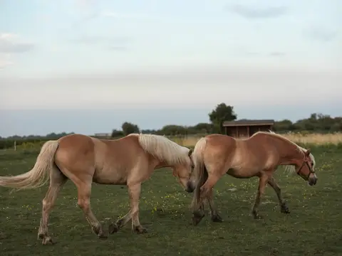
Ziltepad - Wieringerwaard - Westerland
An intriguing walk through the polder landscape from Wieringerwaard to the former island of Wieringen, with panoramic views and stories of the struggle against the water.
- Start location
- Wieringerwaard
- Distance
- 11.7 km
-
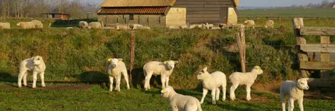
Fietsroute Lammetjesroute
On Texel, spring announces itself in an endearing way. With thousands of woolly, bleating lambs on Texel sheep farms and in the meadows.
- Start location
- Den Burg
- Distance
- 35.0 km
-

Hollands Kroon en Wieringen
Cycling through a landscape with open polders, abundant water, dikes, reed beds, arable fields, meadows, polder forests, and a former island.
- Start location
- Den Oever
- Distance
- 48.5 km
-

Wandelroute Sommelpaadje
This walk follows the Sommelpaadje, a walking path near the village of De Waal. It takes you past turf walls and sheep pastures, across the oldest part of Texel. You will also pass the Waalenburg polder.
- Start location
- Oudeschild
- Distance
- 3.0 km
-
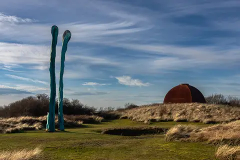
NS-wandeling Helderse duinen
Yes, walking in and around Den Helder is absolutely worthwhile! This varied route starts at Den Helder Zuid station; easy to reach as the intercity train stops there. From the station, you head into the De Nollen nature reserve;
- Start location
- Den Helder
- Distance
- 9.5 km
-
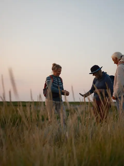
Ziltepad - Westerland - Stroe
Discover the rich history of Wieringen, from Viking chatting to the story of the German Crown Prince, during this fascinating route along the Wadden Sea. Full of history and beautiful vistas!
- Start location
- Westerland
- Distance
- 11.9 km
-
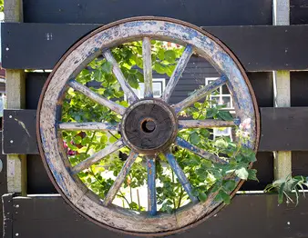
Noord-Hollandpad - Etappe 7 De Haukes - Kolhorn
From De Haukes, you walk back to Kolhorn, which is an important junction in the upper part of the Noord-Hollandpad. However, it would be a shame not to incorporate the special atmosphere of the former island of Wieringen into the Noord-Hollandpad. That is why a branch (stages 6 and 7) runs here to and from Kolhorn.
- Start location
- Westerland
-

Amstelmeerkanaal: vaarroute Den Oever – De Haukes
Paddle 9 km along the Amstelmeer Canal from Den Oever to De Haukes, a peaceful canoe, kayak, and SUP route through the former island of Wieringen.
- Start location
- Westerland
- Distance
- 9.0 km
-
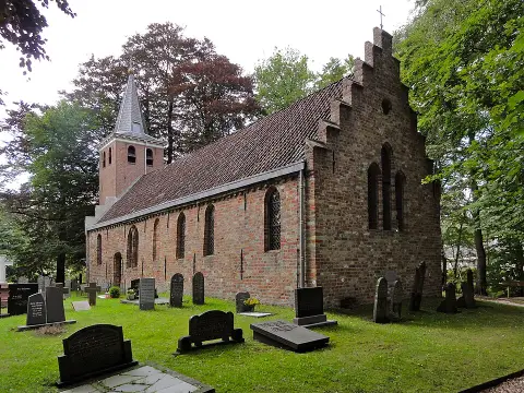
De onbekende schoonheid van Wieringen
This route takes you across Wieringen, the former island where the Afsluitdijk meets the shore in North Holland. Here, you walk through a rolling green landscape of moraines formed during the penultimate Ice Age, about 150,000 years ago.
- Start location
- Hippolytushoef
- Distance
- 15.1 km
-
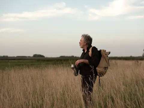
Ziltepad - Stroe - Oosterland
Discover Wieringen: an intimate walking paradise of 21 km along Wadden dikes, historic duck decoys, and the NieuwlandWaard polder. Spot kingfishers and explore a unique landscape.
- Start location
- Hippolytushoef
- Distance
- 20.5 km
-
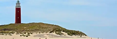
Wandelroute door de Eierlandse Duinen
The Eierland Dunes are located in the north of Texel. The defining feature of this area is, of course, the red lighthouse. That is why this route is also known as the Lighthouse Route. But you can also enjoy excellent birdwatching here in De Cocksdorp!
- Start location
- De Cocksdorp
- Distance
- 6.0 km
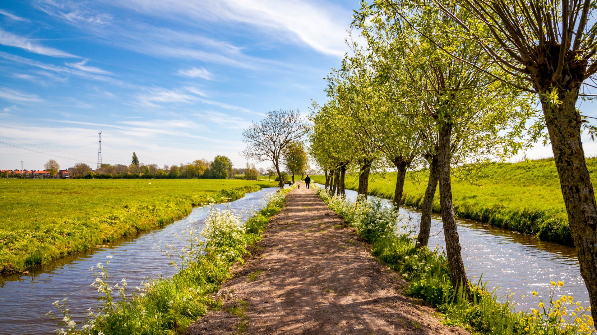
Discover the Kop van Noord-Holland
A day trip to the Kop van Noord-Holland is always a good idea. But what is there to do and see? Whether you’re looking for an active day out or simply want to relax in nature, there’s something for everyone. Stroll through traditional Dutch villages, head to the mudflats, cycle, walk, go boating or visit a museum; you won’t get bored in the Kop.

Weather forecast for the Kop van Noord-Holland
No weather information available
The weather in the Kop van Noord-Holland
The Kop van Noord-Holland is where the land ends and the open space begins, embraced on three sides by the sea. Here, the weather is an untamed force that sets the rhythm of the day, from the endless fields of flower bulbs to the iconic De Lange Jaap lighthouse. Whether the sun bathes the sandbanks in a silvery glow or a north-westerly storm drives the salty mist deep into the land: the Kop is pure, expansive and blessed with the most hours of sunshine in the Netherlands.