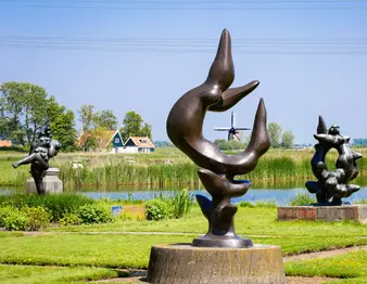
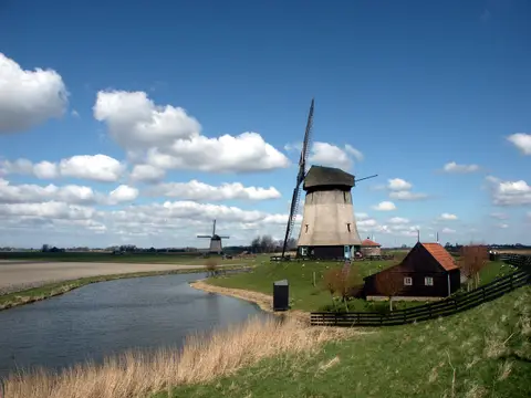
The canoe route through the Eilandspolder is a 24.7-kilometre sailing route through a former island between the Schermer and the Beemster. The route largely follows the blue marked route past Schermerhorn, De Rijp, Graft, West-Graftdijk, Driehuizen and Grootschermer.
An island between two reclaimed lakes
The Eilandspolder was once truly an island, situated between the Schermer and the Beemster. As a result, the area lies quite a bit higher than the adjacent polders, although you hardly notice this while sailing. In the past, whalers sailed from the seaport of De Rijp to Spitsbergen, a history that the village still radiates today.
Four marked routes
In the Eilandspolder there are four marked canoe routes that can be followed in both directions: a blue route of 21.5 kilometres via Schermerhorn, De Rijp, Graft, De Lei, Noordeinde and Grootschermer, a red route of 6.5 kilometres, a yellow route of 8.5 kilometres and a green route of 7.5 kilometres. Numbered posts along the water help with orientation. The 24.7-kilometre route described here largely follows the blue route, with detours through West-Graftdijk and the area of Driehuizen and Siberie.
Wollandje and Siberie
Along the way you sail past Wollandje, a small island near De Rijp where you can go ashore for a visit to the centre, with a bus stop, a small supermarket and a free water tap. East of the small lake De Lei lies an area that is locally called Siberie because of the wild vegetation, not an official name but a popular breeding ground for wild geese, among others. The passage here is freely accessible, although this is not actively encouraged and is partially blocked for motorboats.