-
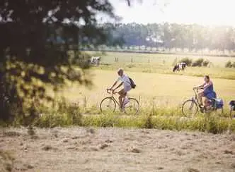
Fietsroute Van Oer-IJ-gebied naar recreatiegebied
This route takes you back in time, through picturesque landscapes along water, past forts and meadows, over winding dikes and old bridges. In the past, the Oer-IJ flowed here, a branch of the Rhine that emptied into the sea at Castricum. When it was closed off, a large peat bog formed. To make the land suitable for arable farming and livestock breeding, ditches were dug and dikes were built.
- Start location
- Uitgeest
- Distance
- 50.0 km
-
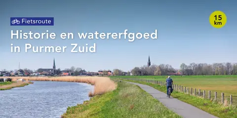
Historie en watererfgoed in Purmer Zuid
It has been four centuries since this polder was drained using polder windmills. Cycle past interesting places, read the stories, and the Purmer comes to life.
- Start location
- Purmerend
- Distance
- 15.0 km
-
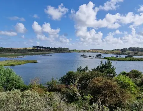
Tien Bergenroute - Overveen: Van binnenduinrand naar zeereep
You start in Overveen and take a 9 km circular walk through Zuid-Kennemerland National Park, passing dune lakes, viewpoints, and a varied dune landscape — ideal for experienced hikers.
- Start location
- Overveen
- Distance
- 8.3 km
-
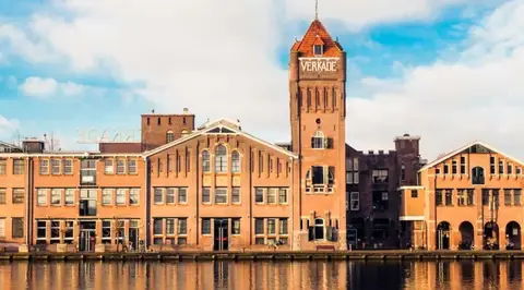
Industrieel erfgoed
The route runs along the water of the Zaan as much as possible. Where factories once stood, residential complexes have now risen that resemble their predecessors in form and volume.
- Start location
- Zaandam
- Distance
- 5.3 km
-
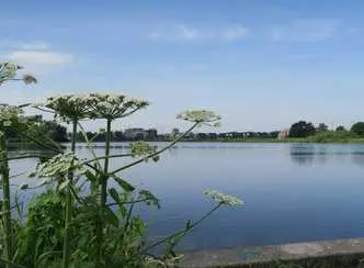
Wandelroute Diemerbos en omringende polders
Go exploring in Diemen and let this walking route take you through the Diemerbos and the surrounding polder area.
- Start location
- Diemen
- Distance
- 9.9 km
-
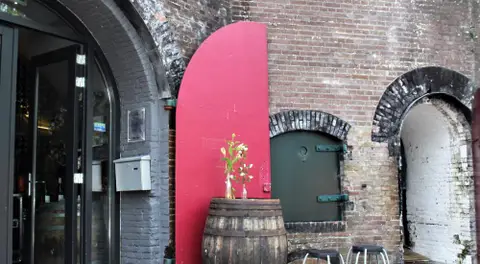
Waterliniepad - Etappe 14: Nieuwegein naar Prinses Beatrixsluis
14.5 km walk past Fort Jutphaas and through Park Oudegein, from Nieuwegein to Prinses Beatrixsluis. Discover the Waterline!
- Start location
- Nieuwegein
- Distance
- 14.5 km
-

Herten Route
The Waterleidingduinen is home to the largest population of fallow deer in the Netherlands. With this route you walk off the paths through the forests in search of these beautiful animals. Not that you have to look far: in the area you are guaranteed deer. So enjoy the deer and the surroundings during the walk.
- Start location
- Zandvoort
- Distance
- 6.4 km
-
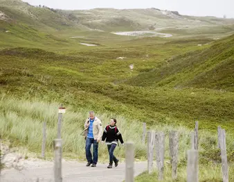
Noord-Hollandpad - Etappe 3 Den Helder - Julianadorp
Den Helder is located at the very tip of the northernmost point of North Holland. You can easily spend a whole day at this most important naval base in the Netherlands. The history here dates back to Napoleon, who had four large forts built just before he was exiled to Elba. You can still visit this Den Helder Defence Line.
- Start location
- Den Helder
- Distance
- 16.0 km
-

Oude jaagpadroute
The Old Towpath Route (green) runs through the forests of Alkmaar and Heiloo, and through the open landscape of the Egmondermeer, where you discover the old towpaths along the Hoever and Bindervaart canals.
- Start location
- Heiloo
- Distance
- 10.2 km
-
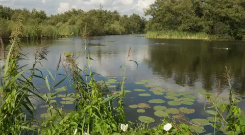
Floris V-pad etappe 02
A walk along the Floris V Trail from Weesp to Bergen op Zoom (LAW 1-3)
- Start location
- Weesp
- Distance
- 23.9 km
-
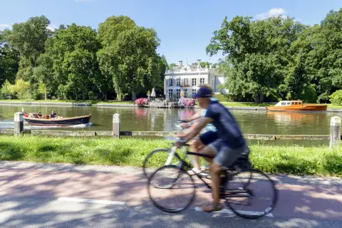
Buitenplaatsen & Plassenroute
Kom langs de mooiste plekjes in de schilderachtige Vechtstreek met historische buitenplaatsen, eeuwenoude kastelen, theehuizen, molens en boerderijen. Tip: combineer deze route met de Fietsboot op de Vecht of Loosdrechtse Plassen. Bewegwijzerd met knooppunten van het Fietsnetwerk Gooi & Vecht.
- Start location
- Oud Zuilen
- Distance
- 36.0 km
-
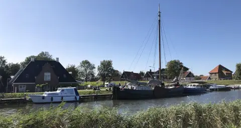
Vaarroute rondje Kolhorn
Fancy heading out on the water in a canoe, SUP, or kayak? Then come to Kolhorn! Three jetties have been built along the recently constructed waterway where you can moor for a short break.
- Start location
- Kolhorn
- Distance
- 3.4 km