An intriguing walk through the polder landscape from Wieringerwaard to the former island of Wieringen, with panoramic views and stories of the struggle against the water.
Polderland unveiled
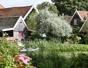
Let yourself be carried away by a landscape where man waged and won the battle against the water. This walk takes you from one polder to the next along the green, often dead-straight, but sometimes slowly winding dike paths that connect the land below sea level. You will discover the deep-rooted history of drainage and land reclamation, a true expression of Dutch community spirit and determination. Located in the northernmost part of North Holland, this stage offers a fascinating glimpse into the formation of our landscape.
Walking along water and history
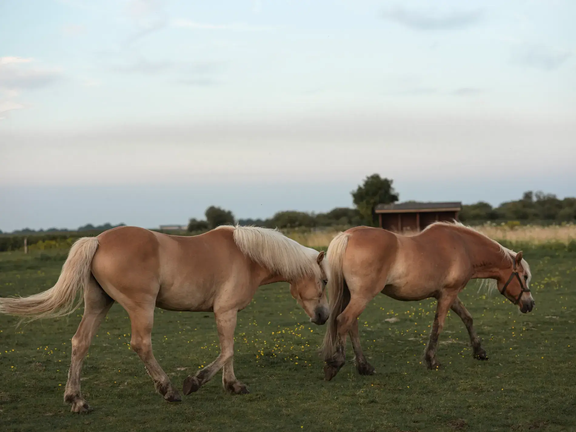
As you walk along the Noorddijk, overgrown with tall grass and herbs, and the dike beside the Waard Canal, you move through a undulating sea of stalks. To the left stretches the Oostpolder, part of the Anna Paulownapolder; to the right lies the Wieringerwaard itself, and further to the east you can discern the vast Wieringermeerpolder. Here you experience a typical Dutch vista: a low horizon and a high sky, where grass-green accents, yellow and white flowers, and sky-blue form an almost picturesque scene. The journey eventually leads you to the former island of Wieringen, a landscape where every step tells a story about the power of water and the will of man. Along the way, you pass the Ulkesluisbrug, the access to the dike surrounding the Amstelmeer. Here, slalomming past grazing sheep, you feel history beneath your feet on the crest of the Amsteldijk, while small waves gently lap against the basalt blocks. Observe the specially constructed islets and reefs where waterbirds forage, sheltered from the wind. This route is a unique, peaceful journey of discovery off the beaten path.