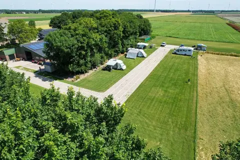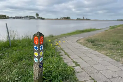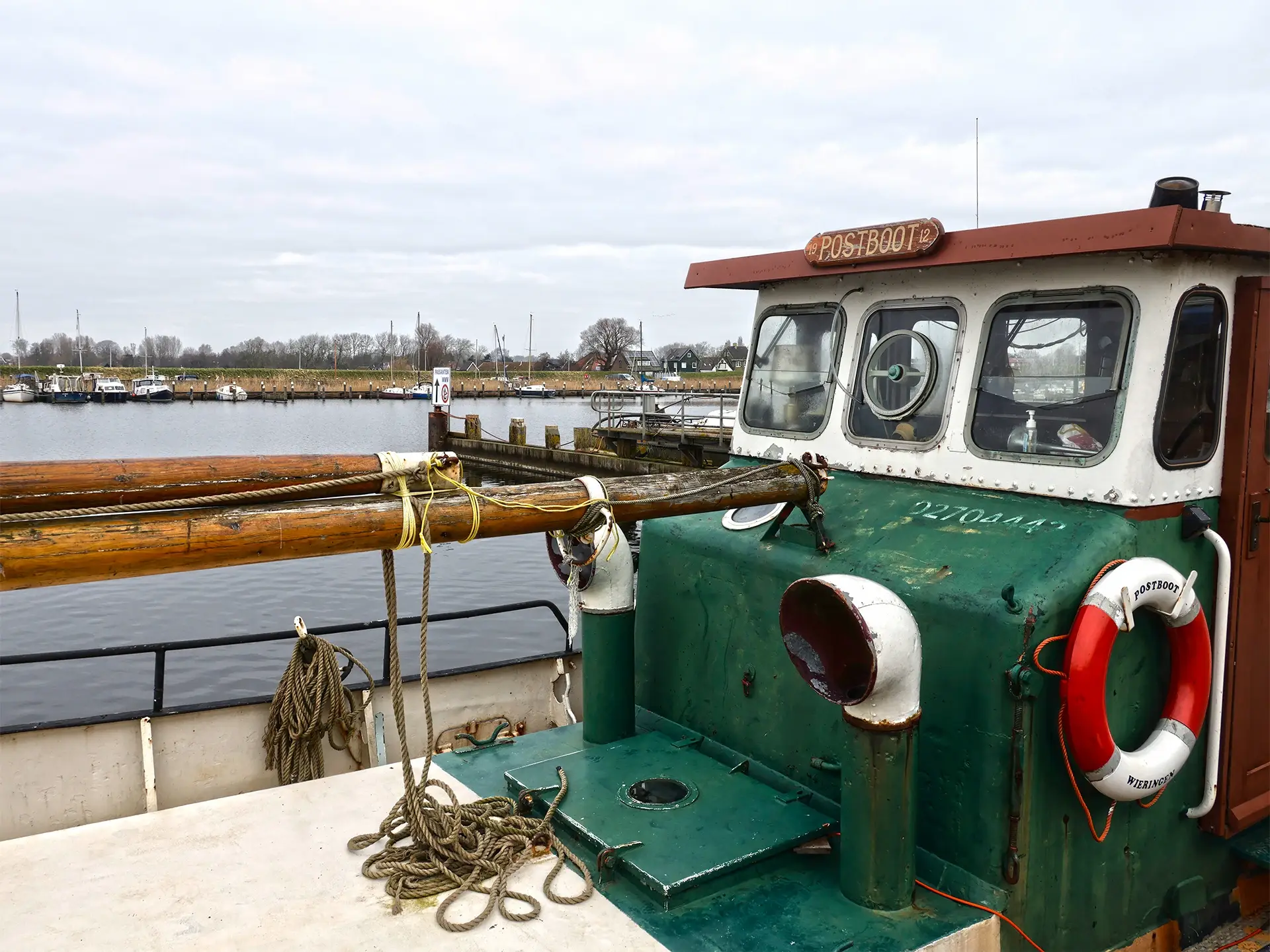
The MUZ cycle route largely runs along the edges of the former island. After all, it was there that the battle against the water had to be fought and the connection with the hinterland established. The traces left behind by the construction of the Zuiderzee Works can be found primarily here; the monuments that form part of Wieringen's turbulent history.
Among the people of Wieringen, the island feeling predominates. Many want to return to how things used to be, even though they never experienced it themselves. Yet most residents are also proud. Proud of the Zuiderzee Works. After all, it is one of the largest hydraulic engineering projects in the world. And Wieringen is, after all, an integral part of it.
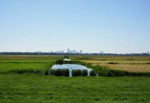
The Zuiderzee Works have put Wieringen on the map, literally and figuratively. It is even a hub in the system of dikes that protects our country against the water. The Maatschappij tot Uitvoering Zuiderzeewerken, the MUZ, made this possible.
Cherish the monuments from the period between when Wieringen was still an island and the moment it became mainland. The MUZ cycle route takes you past the monuments built to make the Zuiderzee Works possible: the villas that adorn the island, the water level gauge houses marking the east and west sides of the island, and the ostentatiously large Hippolytushoef post office, which certainly would not have looked out of place in a medium-sized city.
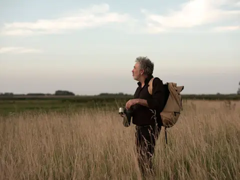
Immerse yourself in this mix of emotions. You might sense the melancholy of the slowly fading island spirit, but certainly also the pride that many Wieringers feel for their role in the Zuiderzee Works.
Tip! At every stop, you can listen to the information as audio. A Wieringer Fun Fact is hidden in every audio clip, spoken in the Wieringer dialect.
The route was made possible by Evert Marsmans, Simon de Haan, photographer Kenneth Stamp, Kade C design agency, Fietsnetwerk.nl, and the Zuiderzeewerken program of the Municipality of Hollands Kroon.