-
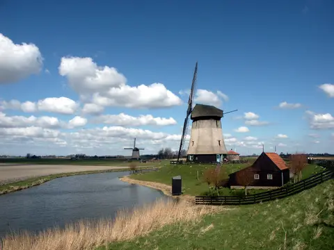
Grootschermerroute
The Grootschermer route circles the northern part of the Eilandspolder, a water-rich nature reserve managed by Staatsbosbeheer with long, narrow, partly overgrown peat plots. You walk along green church paths...
- Start location
- Grootschermer
- Distance
- 10.7 km
-
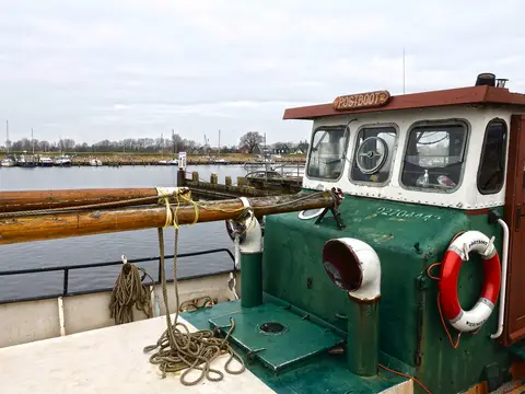
MUZ-fietsroute | Wieringen & de Zuiderzeewerken
The MUZ cycle route largely runs along the edges of the former island. After all, it was there that the battle against the water had to be fought and the connection with the hinterland established. The traces left behind by the construction of the Zuiderzee Works can be found primarily here; the monuments that form part of Wieringen's turbulent history.
- Start location
- Den Oever
- Distance
- 37.6 km
-
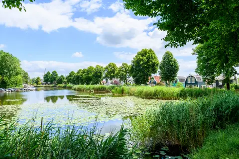
Aetsveldroute
Volg de groene pijlen van het Wandelnetwerk Gooi & Vecht voor een lange rondwandeling vanuit vestingstad Weesp, langs de Vecht en door de Aetsveldsche Polder. Deze route gaat deels over verharde wegen (langs de Vecht) en deels over graspaden.
- Start location
- Weesp
- Distance
- 11.8 km
-
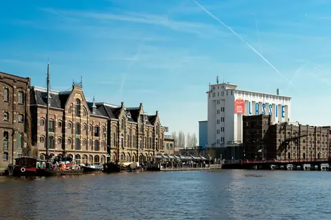
Monumentale route
This Wormerland Monumental Route leads you past a unique combination of historical monuments, breathtaking landscapes, and cozy eateries.
- Start location
- WORMER
- Distance
- 26.0 km
-
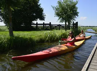
De Stieroproute
The Stierop Route takes you through peaceful polders, a vast nature reserve, and among other water sports enthusiasts and boats on the Markervaart and the Uitgeestermeer.
- Start location
- Uitgeest
- Distance
- 10.5 km
-

De twee sluizenroute
Discover Hollands Kroon by SUP, canoe, or kayak? You can listen to these interesting podcasts during your trip.
- Start location
- Anna Paulowna
- Distance
- 11.0 km
-
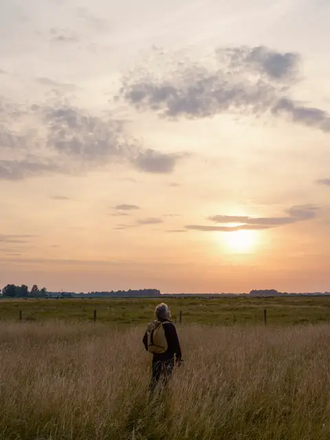
Ziltepad - Huisduinen - Anna Paulowna
Discover 25 km of surprising landscape variety from the North Sea coast, through green forests and flower bulb fields, to the serene polder of Anna Paulowna.
- Start location
- Huisduinen
- Distance
- 19.4 km
-
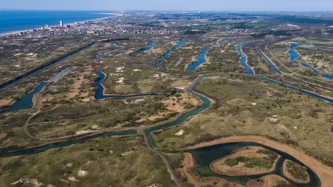
Bunkerwandeling
In the Amsterdam Water Supply Dunes there are many bunkers, about 400. This route runs along several bunkers. They were built by Germany during the Second World War and are part of the Atlantic Wall.
- Start location
- Zandvoort
- Distance
- 5.3 km
-
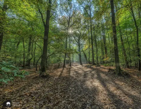
Rondje Heilooërbos (geel)
The Rondje Heilooërbos (yellow) is a route for the whole family through the forest of the old Nijenburg estate. At the edge of the forest, you have a wide view over the surrounding meadows. Also...
- Start location
- Heiloo
- Distance
- 4.1 km
-
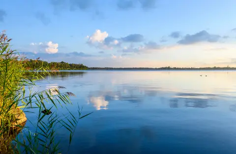
Rondje Spiegelplas
Rondje Spiegelplas is een toegankelijke wandelroute rondom de Spiegelplas, over (half)verharde paden. Deze route van Natuurmonumenten is bewegwijzerd met blauwe routepijlen en volgt ook de knooppunten van het Wandelnetwerk Gooi & Vecht.
- Start location
- Nederhorst den Berg
- Distance
- 8.7 km
-
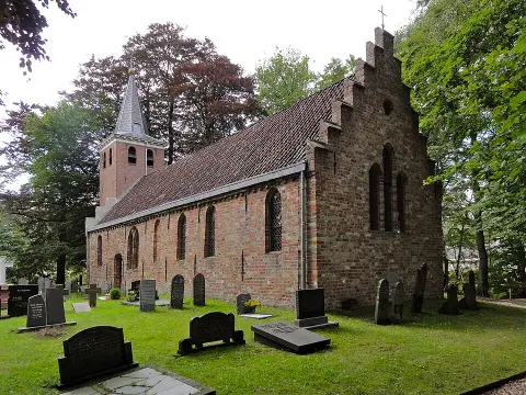
De onbekende schoonheid van Wieringen
This route takes you across Wieringen, the former island where the Afsluitdijk meets the shore in North Holland. Here, you walk through a rolling green landscape of moraines formed during the penultimate Ice Age, about 150,000 years ago.
- Start location
- Hippolytushoef
- Distance
- 15.1 km
-

Rode lunchwandelroute, zuidelijk deel
The route runs partly along the footpaths of the Berenkoog and partly through the park strip. You pass Hortus Alkmaar at the Berenkoog.
- Start location
- Alkmaar
- Distance
- 2.1 km