-
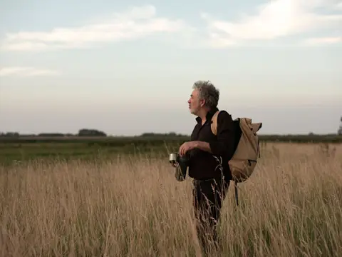
Ziltepad - Etappe Oosterland - Stroe
For a long time, Wieringen was the smallest Wadden Island, about ten kilometers long and two to three kilometers wide. After the closure of sea inlets, the reclamation of the Wieringermeer, and the construction of the Afsluitdijk, the island became encapsulated within the mainland.
- Start location
- Den Oever
- Distance
- 18.8 km
-
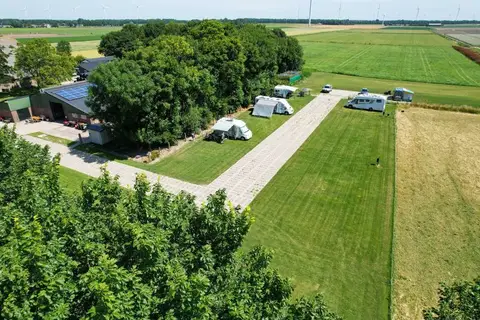
Fietsen door de polders van Hollands Kroon
This route takes you through Hollands Kroon, a beautiful region in North Holland home to villages such as Den Oever and Wieringerwaard. You will enjoy beautiful vistas and the former island of Wieringen.
- Start location
- Den Oever
- Distance
- 55.4 km
-
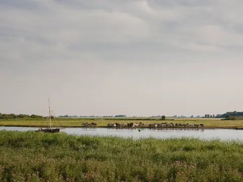
Ziltepad - Anna Paulowna - Wieringerwaard
From Anna Paulowna to Wieringerwaard, on Het Ziltepad, you follow the centuries-old traces of a medieval tidal channel in the varied polder landscape.
- Start location
- Anna Paulowna
- Distance
- 16.3 km
-
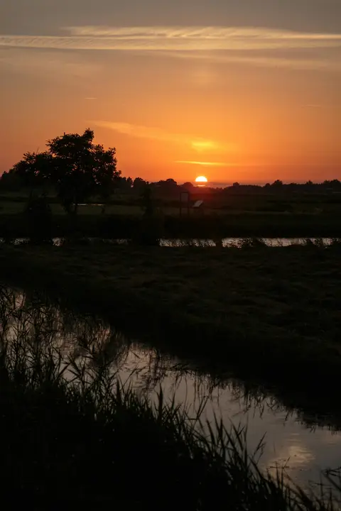
Paarse route vanaf startpunt Hondsbossche Zeewering
The purple route runs around De Putten, a vast meadow area with ditches and ponds, managed by Natuurmonumenten. The name comes from the clay pits that were dug for clay extraction in Castricum.
- Start location
- Petten
- Distance
- 3.5 km
-
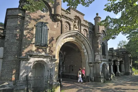
Historische wandeling door Naarden-Vesting
Naarden is de best bewaarde vestingstad van Nederland, uniek in Europa vanwege de stervormige omwalling, poortgebouwen en bastions. De vestingstad is onderdeel van UNESCO Werelderfgoed Hollandse Waterlinies. Bij de Gele Loods/VVV is een uitgebreide routebrochure met historische informatie te koop.
- Start location
- Naarden
- Distance
- 3.3 km
-
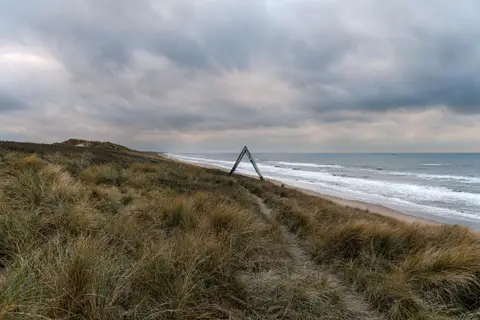
Route naar Noordvoort
With this route you walk from the NS station into the peace of nature. Spot seals at the Noordvoort nature reserve from the sea strip and come face to face with foxes and deer in the Amsterdam Waterleidingduinen. A unique walk.
- Start location
- Zandvoort
- Distance
- 11.2 km
-
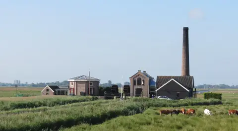
Zuiderzeepad etappe 10
Wandel rond het IJsselmeer en verken de oude Zuiderzee (LAW 8)
- Start location
- Bunschoten-Spakenburg
- Distance
- 12.3 km
-

Vaarrondje rond Krommeniedijk - Uitgeest
A pleasant boating route through a nature-rich area with historical elements, ideal for a relaxing day on the water with family or friends.
- Start location
- Uitgeest
- Distance
- 9.0 km
-
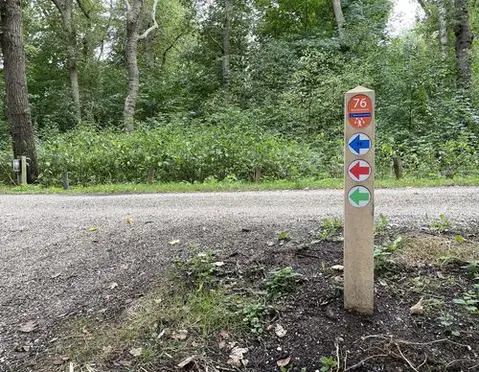
Spaarneroute – Wandelen langs het Spaarne in Haarlem
Walk 13.8 km along the Spaarne in Haarlem: from Schoteroog via De Adriaan Mill and the Gravestenenbrug, back via the quiet Parkwijk to the Veerplas.
- Start location
- Haarlem
- Distance
- 13.8 km
-

Recreatief en historisch Oostzaan
This route takes you past special places that each tell their own story about the history, nature, and art of Oostzaan.
- Start location
- Oostzaan
- Distance
- 16.0 km
-

Tafelberg- en Blaricummerheide route
This walking route leads through the landscape that once inspired painter Anton Mauve. The trek follows unpaved paths past the sheepfold of the Gooi Nature Reserve and ends at the Tafelberg, the highest point in 't Gooi. Along the way, there is a good chance of spotting grazing sheep on the heath. A peaceful walk through woods and heath.
- Start location
- Blaricum
- Distance
- 7.5 km
-
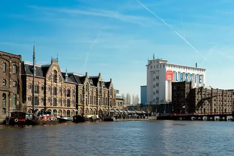
Monumentale route
This Wormerland Monumental Route leads you past a unique combination of historical monuments, breathtaking landscapes, and cozy eateries.
- Start location
- WORMER
- Distance
- 26.0 km