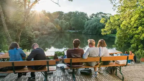
From Amsterdam, within ten minutes you can cycle from a busy early 20th-century residential area, over the Schellingwoude Bridge and under the ring road, to the tranquility of the countryside. Near Durgerdam, you get a good view of the water around which this route revolves. The area you cycle through is called Waterland.
The name will not surprise you with all those ditches, lakes, and small bodies of water surrounding you. In the 11th century, farmers from West Friesland tried to make the pristine peatland suitable for arable farming by draining it. But this caused the peat to subside, and within a few generations, the land was too wet again.
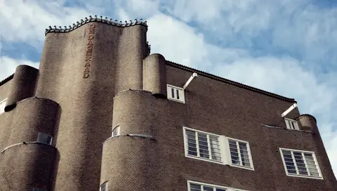
Both Monnickendam and Edam were bustling trading towns in the 16th and 17th centuries thanks to their open connection to the sea. Volendam was founded around 1600 as a suburb of prosperous Edam. The wealth of yesteryear is reflected in the architecture of the old town centers: elegant streets with stately merchant houses and warehouses. Just past the village of Warder, you pass the Warder Pumping Station: a modern pumping station from 1998. North Holland lies mainly below sea level, and you can see this clearly from here. The water level in the Markermeer behind you is considerably higher. The pumping stations pump the water into the Markermeer, thus keeping the polder behind them dry. Further on, after Schardam, you encounter another such pumping station. The Cees Mantel Pumping Station is truly brand new; it opened in 2017. It quietly pumps away 2,000 cubic meters of water per minute (a full Olympic swimming pool). The pumping station is located near the Westfriese Omringdijk, a 126-kilometer-long sea dike that originated in the 13th century when the West Frisians connected their smaller dikes.